Can Laser Cut Wood Maps Provide a New Perspective on Topography?
Introduction
Maps have been used for centuries to assist in navigation, understanding the world, and even as decorative pieces. With advancements in technology, laser cutting has emerged as a popular method for creating intricate and detailed maps. In this article, we will explore the concept of laser cut wood maps and their ability to provide a new perspective on topography.
Understanding Laser Cut Wood Maps
Laser cut wood maps are three-dimensional representations of geographic features crafted by cutting wooden materials with laser technology. These maps offer a unique visual representation of topography, revealing the contours, elevations, and overall landscape of an area.
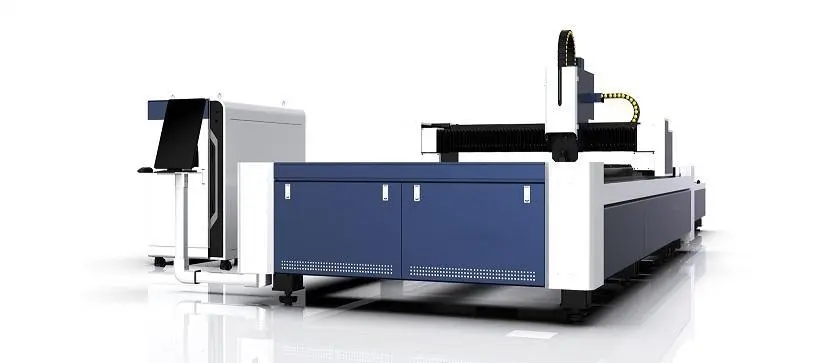
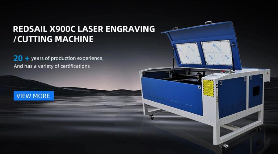
The process of creating laser cut wood maps involves using a laser cutter to precisely carve out the details of a map from a sheet of wood. This technique allows for intricate designs and intricate levels of detail to be included, resulting in visually stunning and accurate representations of topographical information.
Not only do these maps showcase the physical characteristics of a location, but they can also be customized to include additional elements such as water bodies, cities, landmarks, and even personalized engravings.
Advantages of Laser Cut Wood Maps
1. Unique Aesthetic Appeal: Laser cut wood maps possess a distinct natural charm and craftsmanship, adding warmth and character to any space.
2. Readability: The three-dimensional nature of these maps allows for a more intuitive understanding of topography, making it easier to comprehend the spatial relationships between different features.
3. Durability: Wood, being a sturdy material, ensures that laser cut wood maps are long-lasting and can withstand wear and tear.
4. Customizability: These maps can be customized to cater to specific preferences, allowing for personalization and the inclusion of unique details.
Applications of Laser Cut Wood Maps
Laser cut wood maps have a wide range of applications:
– Educational purposes: Laser cut wood maps can be used in schools and universities to aid in geography lessons or as interactive models to enhance learning.
– Decorative pieces: These maps can serve as stunning decorative items for homes, offices, or public spaces, adding a touch of elegance and nature.
– Special gifts: Laser cut wood maps make for memorable and personalized gifts, as they can be customized with engravings or areas of sentimental value.
FAQs
Q: What materials are commonly used for laser cut wood maps?
A: The most common materials used for laser cut wood maps include birch plywood, cherry wood, walnut wood, and MDF (medium-density fiberboard).
Q: Are laser cut wood maps accurate representations of topography?
A: Yes, laser cut wood maps can provide accurate representations of topography. The precision of laser cutting technology ensures that the maps are detailed and true to scale.
Q: Can laser cut wood maps be customized to include personal engravings?
A: Yes, laser cut wood maps offer the possibility of personalization. Engravings can be added to represent personal milestones, special locations, or sentimental details.
Q: Are laser cut wood maps suitable for outdoor use?
A: While laser cut wood maps are generally designed for indoor display, some manufacturers may offer options for weather-resistant finishes, making them suitable for limited outdoor use.
Q: Can laser cut wood maps be ordered for specific locations?
A: Absolutely! Many companies offer customization services, allowing customers to order laser cut wood maps of any desired location, ranging from cities to entire countries or continents.
Conclusion
Laser cut wood maps serve as a captivating and informative way to explore topography. Their unique combination of artistry, craftsmanship, and attention to detail offers a fresh perspective on the world we inhabit. Whether used for educational purposes, decorative elements, or as personalized gifts, these maps have the ability to create a deeper connection with our surroundings and provide a new appreciation for the intricacies of our planet’s topography.


